


This week, we are straying a short distance beyond the Tyrone county border and heading for the striking peak of Slieve Gallion, which dominates the Mid Ulster landscape and marks the gateway to the Sperrins. Like all the best walking destinations, there are numerous routes which can be taken to reach the summit of Slieve Gallion which is just around seven miles from Cookstown.
You can save yourself the bother and drive all the way to the top and snap the obligatory selfie, with the vast patch-work quilt of the North stretched out behind you… and maybe even belt a few verses of the song Slieve Gallion Braes.
But we’re here for the dander and for the purposes of this feature, we’ll start off from Lough Fea, which is itself a popular location for dandering.
From the car park, walkers can make their way up to the foot of the mountain, by following the trail which starts beside the entrance to the Charis Cancer Care centre. The walk meanders through a mixture of woodland and heather and alongside a large quarry.
But this industrial wasteland is soon in the rear view mirror as the trail takes you right along a quiet country road with the slopes of Slieve Gallion rising up on your left hand side.
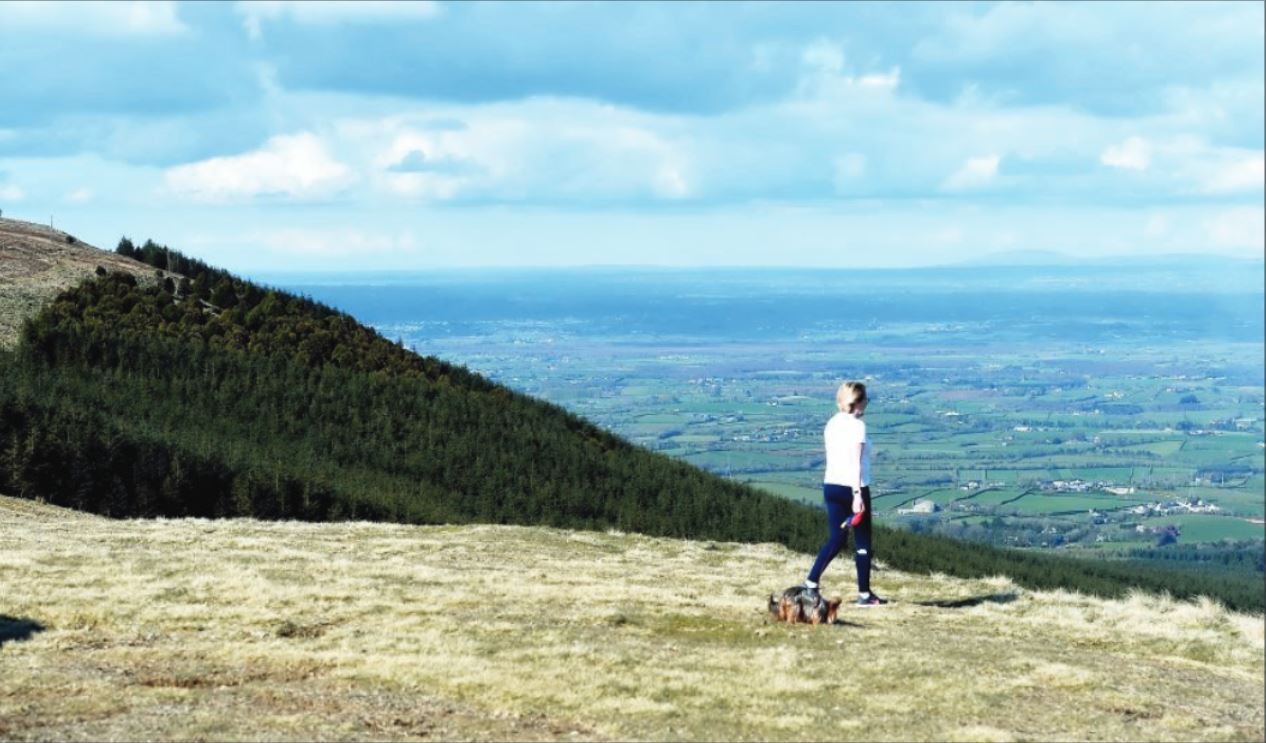
After a short stretch on the tarmac, it’s back on to a gravel laneway which soon gives way to the mountain bog and a well beaten pad through the heather. From here, the trail really begins to climb until you meet a small plantation of fir trees, some of which have been harvested in recent years.
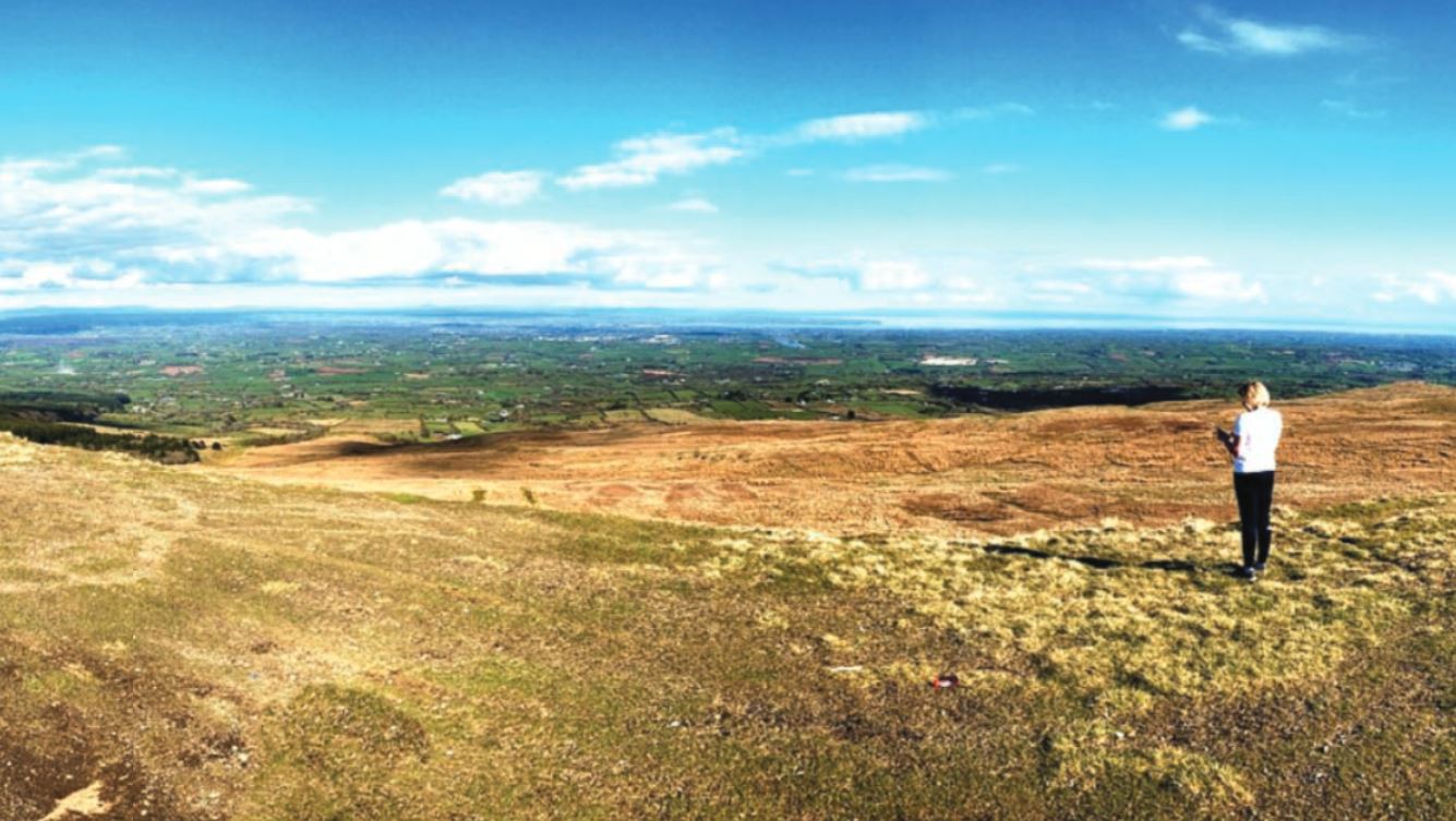
At this point and given a good clear day, you should be able to take in some of the stunning views of Lough Fea and beyond over the rolling hills of Tyrone.
Onwards and upwards, the trail takes you across a boggy route overlooking the towering turbines of the Crocandun Wind Farm, before turning right and another steady climb through the heather to the top of the mountain. Like all good mountain climbs, you will encounter a few false peaks and will begin to wonder if you will ever reach the true summit.
In this final section of the trail, there are a series of yellow way markers which help steer you to the trig point –which is the official peak. At the peak, you can take a well deserved breather, soak up the views and begin the descent back to your car, or, you can continue for another mile or so across the top of the mountain to the telecommunications mast, where the views of the whole North are truly breath taking.
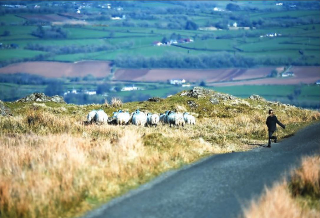
There are even two large crucifixes erected for those in need of prayer for the return leg of the journey. Like so many walks, the route has become really well worn over the last year, with rising numbers of people exploring the great outdoors and this has helped make this challenging dander much easier to follow. There are shorter routes on Slieve Gallion, but they are also steeper and car parking has become a serious issue in recent months.
This route from Lough Fea, should take around four hours from start to finish, probably straying just beyond the border of a dander, but worth every step.