


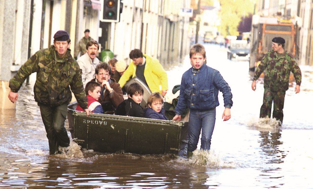
APPROXIMATELY 700 residential and business properties in the vicinity of Omagh town centre have been identified as ‘vulnerable to potential serious flooding’.
Despite existing flood defences, including those installed after deluges in 1987 and 2011, concerns persist over Omagh’s readiness for severe flood events, which could result in significant damage to homes, businesses, and infrastructure, with associated economic costs estimated in the millions.
The Department for Infrastructure (DfI) has initiated a new feasibility study focusing on flood risk across Omagh, particularly along the Rivers Strule, Drumragh, Camowen, and Fairywater.
The Dfi acknowledges the town’s ‘significant defences’ but emphasies that a remaining ‘one-percent probability of a 100-year flood event’ could potentially affect 669 properties.
Local residents and business owners are calling for greater transparency and community consultation regarding flood risks and proposed mitigation measures, particularly in light of severe flooding in Newry and Downpatrick last year.
“Everyone saw the damage in those towns last October,” said William Wilson, manager of Lisdergan Butchery in Campsie.
“If that happened here, we’d lose thousands in stock and our ten staff would be out of work. We need reassurance from the Government that Omagh is properly protected.”
Edel Rogers, manager of the Home Decor Centre in Campsie, echoed these concerns, noting the financial risks associated with potential flooding of their cellar area, which is situated close to river levels.
“We have tens of thousands of pounds worth of stock, particularly paint, stored at the rear of our property,” Ms Rogers explained. “Thankfully, the current flood defences work well in heavy rain, but we need clarity on additional measures needed to prevent future flooding because the impact would be devastating.”
The Dfi’s current Flood Feasibility study for Omagh is over a decade old, with flood maps from 2015 projecting potential flooding zones across Campsie, High Street, Bridge Street, and Market Street.